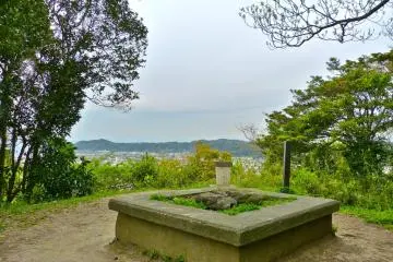
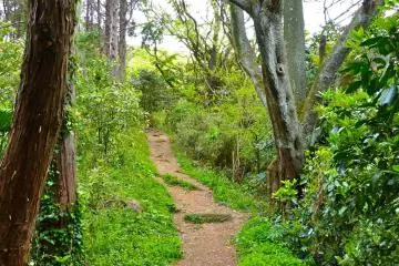
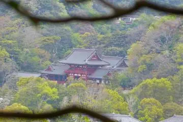
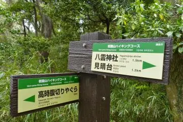
This is the shortest trail, and the closest one from JR Kamakura Station among all the Kamakura hiking trails. The trail traverses the ridges of Gion-yama Hills, starting from stone steps at the back of the Yagumo-jinja Shrine and ending at the site where Tosho-ji Temple used to be. It takes about only one hour and is relatively easy. The trail has a great view of Mt. Fuji, the bay and Tsurugaoka Hachimangu Shrine. An index of this series is here.
Kamakura’s Gion-yama Hiking Trail
Seeing Kamakura from the backend - 3
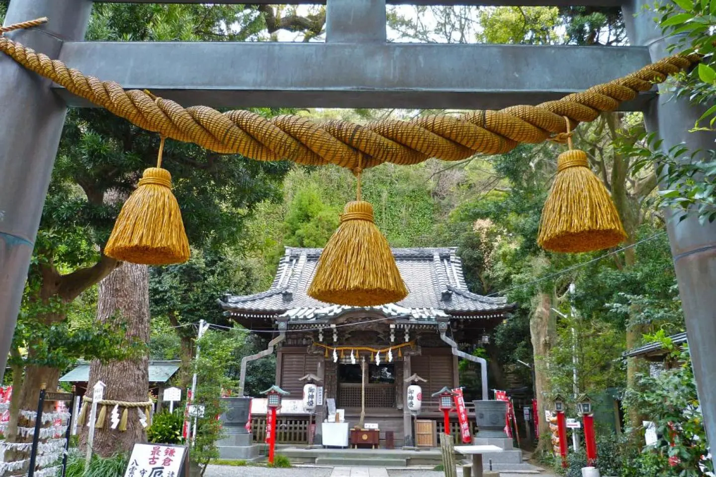
![Tomoko Kamishima Tomoko Kamishima](https://a2.cdn.japantravel.com/photo/u/41/240x240!/565e87c867ba810c868b60cf.jpg)
Oleh Tomoko Kamishima
Community writer
![Yagumo-jinja Shrine](https://a1.cdn.japantravel.com/photo/4235-26837/1000/kanagawa-kamakura-s-gion-yama-hiking-trail-26837.jpg)
Yagumo-jinja Shrine
![View point for Mt. Fuji and the bay](https://a2.cdn.japantravel.com/photo/4235-26838/1000/kanagawa-kamakura-s-gion-yama-hiking-trail-26838.jpg)
View point for Mt. Fuji and the bay
![Relatively easy course](https://a3.cdn.japantravel.com/photo/4235-26839/1000/kanagawa-kamakura-s-gion-yama-hiking-trail-26839.jpg)
Relatively easy course
![Shaga (Japanese Iris)](https://a3.cdn.japantravel.com/photo/4235-26840/1000/kanagawa-kamakura-s-gion-yama-hiking-trail-26840.jpg)
Shaga (Japanese Iris)
![A distant view of Tsurugaoka Hachimangu Shrine](https://a0.cdn.japantravel.com/photo/4235-26841/1000/kanagawa-kamakura-s-gion-yama-hiking-trail-26841.jpg)
A distant view of Tsurugaoka Hachimangu Shrine
![Clear sign of the course](https://a1.cdn.japantravel.com/photo/4235-26842/1000/kanagawa-kamakura-s-gion-yama-hiking-trail-26842.jpg)
Clear sign of the course
![The course is close to the city](https://a2.cdn.japantravel.com/photo/4235-26843/1000/kanagawa-kamakura-s-gion-yama-hiking-trail-26843.jpg)
The course is close to the city
![This is where Kamakura Shogunate came to an end (Takatoki Harakiri Yagura)](https://a3.cdn.japantravel.com/photo/4235-26844/1000/kanagawa-kamakura-s-gion-yama-hiking-trail-26844.jpg)
This is where Kamakura Shogunate came to an end (Takatoki Harakiri Yagura)
![Pretty flowers on the trail](https://a0.cdn.japantravel.com/photo/4235-26845/1000/kanagawa-kamakura-s-gion-yama-hiking-trail-26845.jpg)
Pretty flowers on the trail
![The site where Tosho-ji Temple used to be](https://a1.cdn.japantravel.com/photo/4235-26846/1000/kanagawa-kamakura-s-gion-yama-hiking-trail-26846.jpg)
The site where Tosho-ji Temple used to be
![River near the end point of the course](https://a2.cdn.japantravel.com/photo/4235-26847/1000/kanagawa-kamakura-s-gion-yama-hiking-trail-26847.jpg)
River near the end point of the course
Eksplor sekitar
Tinggalkan komentar
0 total komentar
Pesan perjalanan
Find a nearby hotel
Explore some of the best nearby hotels and deals for the perfect place to stay in Japan.
Artikel Teratas
-
1
Panduan Wisata ke Jepang
Tokyo -
2
Starbucks Dazaifu oleh Kengo Kuma
Fukuoka -
3
Area Tokyo yang Tak Pernah Terbayangkan
Tokyo -
4
Rumah Tua, Hakodate
Hokkaido -
5
O-sechi Jepang
Kuliner -
6
10 Aktivitas Paling Menarik di Saga
Saga -
7
Joe Okada, Sang Samurai Terakhir
Kyoto -
8
Bandara Haneda Dan Narita
Rencana -
9
Yuk, Berkunjung ke Cafe Rosso
Shimane -
10
Restoran Bandara Naha
Okinawa
-
1
Panduan Bea Cukai Jepang
Rencana -
2
Patung Hachiko di Shibuya
Tokyo -
3
10 Tempat Menarik di Ibaraki
Ibaraki -
4
Panduan Iklim dan Cuaca Jepang
Rencana -
5
Festival Kawazu & Resor Tokyu
Shizuoka -
6
Panduan Membawa Obat ke Jepang
Rencana -
7
Festival Cahaya Nabana no Sato
Mie -
8
Loker Stasiun di Jepang
Akomodasi -
9
Omoide Yokocho di Shinjuku
Tokyo -
10
Nomor Telepon Darurat di Jepang
Rencana